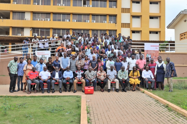
Geomatic Engineering students of the Kwame Nkrumah University of Science and Technology have begun a project to create maps to enhance town planning and management.
According to project lead, Prof. Samuel Andam-Akorful: "The main objective is to create an industry-level scenario for mapping and creating geospatial products using all fields of Geomatic Engineering."
The practical nature of the Geomatic Engineering program requires students to carry out extensive fieldwork to improve their technical skills. However, students have not had the opportunity to apply their knowledge in real-world settings.
The Department of Geomatic Engineering has therefore reorganized the final year practical task course as a Survey Camp, undertaken during a 2-week period in the long vacation.
During this Camp, students will gain firsthand experience in collecting data within communities using state-of-the-art technologies.
The datasets collected include land boundaries, land use and land cover, transportation networks, cultural and natural resources, general topographic data, and more.
The Department is collaborating with the Oforikrom Municipality to develop a map for the Ayigya township.
The students will map both natural and manmade features in the area and gather information about the land use of parcels in the region.
They will also assess whether current developments in the township align with the planned scheme.
Prof. Andam-Akorful believes this initiative will complement the efforts of the Lands Commission. He also hinted at expanding the project nationwide.
"Our long-term vision is to make what we call the land banks for the nationwide. We want to document this information so it becomes easier to access details about who owns what land and where. As we collect this information, it will complement what the Lands Commission is doing. We will collaborate with any community that wants to work with us," he was optimistic.
Partners and sponsors of the program include the Oforikrom Municipal Authority, Hia Topre Stool-Ayigya, Geometrix Engineering, PDSA (part of Hexagon), Quest Consolidated Ltd., and Leica Geosystems Ghana.
Latest Stories
-
Expansion Drive: Takoradi Technical University increases faculties
4 hours -
SHS heads demand payment of outstanding funds before reopening of schools
5 hours -
We thank God for the 2024 general elections – Akufo-Addo
5 hours -
Coconut Grove Beach Resort marks 30 years of excellence with memorable 9 lessons & carols service
5 hours -
WAFU B U-17 Girls’ Cup: Black Maidens beat Nigeria on penalties to win inaugral tournament
6 hours -
Real Madrid beat Sevilla to keep pressure on leaders Atletico
7 hours -
Liverpool put six past Spurs to go four points clear
7 hours -
Manchester United lose 3-0 at home to Bournemouth yet again
7 hours -
CHAN 2024Q: ‘It’s still an open game’ – Didi on Ghana’s draw with Nigeria
7 hours -
CHAN 2024Q: Ghana’s Black Galaxies held by Nigeria in first-leg tie
8 hours -
Dr Nduom hopeful defunct GN bank will be restored under Mahama administration
9 hours -
Bridget Bonnie celebrates NDC Victory, champions hope for women and youth
9 hours -
Shamima Muslim urges youth to lead Ghana’s renewal at 18Plus4NDC anniversary
10 hours -
Akufo-Addo condemns post-election violence, blames NDC
10 hours -
DAMC, Free Food Company, to distribute 10,000 packs of food to street kids
11 hours